Explore
The Mojave Desert is the core of what we cover, but the ground we cover is wider than the desert itself. This section is our working reference for both: the desert at the center, and the corridor of California, Nevada, Arizona, and Utah around it, where there are simply too many good places to leave out. Canyon country, high desert, dune fields, ghost towns, volcanic formations, and more than a few roads that do not show up on Google Maps.
New to the Mojave? Start here
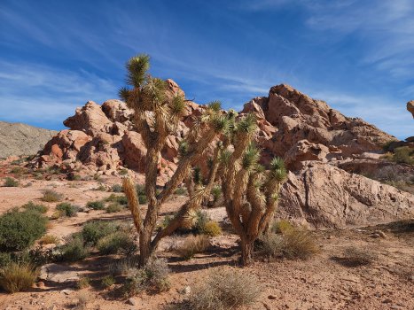
What Is the Mojave Desert?
Where the Mojave starts and stops, how it differs from its neighbors, and how the wider corridor we cover fits around it.
Learn More
National Parks & Preserves
Eight NPS units across the corridor — Death Valley's badlands, Utah's canyon country, and more. Entry fees apply almost everywhere.
Learn More
State Parks
Nevada, Utah, California, and Arizona state parks — usually less crowded than the national park next door, often better for off-pavement access.
Learn More
BLM & Public Lands
The land between the parks — free dispersed camping, OHV routes, and most of the corridor's actual overlanding terrain.
Learn MoreThis section is our working reference — the national parks, state parks, BLM land, OHV areas, and monuments worth knowing about across the corridor. It’s not a complete list. Just the places that matter to us, organized by who manages them, since that usually determines the fee, the rules, and how much dirt you’ll actually get to run.
None of this is static — travel management plans change, fees adjust, and closures happen with little warning. Treat every entry here as a starting point, not the final word. Check the official site before you go.
What’s Here
- What Is the Mojave Desert — the intro-level page: where the desert starts and stops, and how the wider corridor fits around it.
- National Parks & Preserves — entry fees, established infrastructure, the scenery everyone’s heard about.
- State Parks — smaller, cheaper, often better dirt access.
- BLM & Public Lands — free, largely unregulated, the bulk of the corridor’s actual overlanding terrain.
- Always check current conditions — blm.gov/visit or the relevant park’s official site before you go.
Rule of thumb: national parks have the scenery and the crowds, BLM land has the access and the quiet.